Rocks, cliffs, mud...
Day 15 - 16.1km From Lyme Regis to West Bay The cliffs are full of fossils and crumble into the sea.


 |

 |


The lonely chapel of St Catherine perched on its hill overlooking the impossibly cute and 'lost in time' village of Abbotsbury where we bought a sandwich from a man who told us all about his friend James Lovelock, who invented the microwave oven, worked for NASA and organised the Gaia conference. He lived in Abbotsbury and died last year, aged 103 year and still walking 8 miles a day.

After Abbotsbury, the mud began. It was in farm paddocks and on narrow tracks with no way to avoid it. Awful stuff that slowed us down and exhausted us.


Finally, at 6pm we saw Ferrybridge, the narrow strip of land that connects the Isle of Portland to the mainland (it is not quite an island) but we still had 2kms of paved walking along a rail trail to reach our bnb where the lovely Lyn and Peter looked after us for two days. There was a multi-storey block of flats, aka a cruise ship, in the huge harbour.

Day 18 - 21kms of relatively easy walking and no mud! A circuit around the 'isle' which is dotted with old and current quarries sending Portland Stone all over the world. We walked one of the suburban areas and climbed to a cliff top. Chesil Beach stretches away into the distance. A steep pebbly beach not safe for swimming even on a calm day.

One of the quarries is full of sculptures. Here are just a few.


We left the quarry and walked along dramatic cliffs to Portland at the end where three lighthouses are located as well as a cafe where we had excellent scones.
 |

Fishing/beach shacks.

One of the cranes once used to load stone onto boats.

At times, along this other side of Portland we almost felt like we were in Greece or Italy with the blue water, light grey or white cliffs and an arch leading to a curved terrace. We really enjoyed this day. Portland was much more interesting than we expected.

Day 19 - The Path often seems to lull you onto thinking it is easy and then brings you back to reality. This was a long hard day, huge steep climbs and descents. Fabulous views but we worked hard to earn them. The 23kms began with a walk through Weymouth. We waited while a bridge opened to let boats through in the Old Harbour.

Even the locals were rugged up in the cold wind but thst did not stop them going to the beach which actually has proper sand!
 |
It was a long walk along the promenade before we left Weymouth. It's a big place.

Found a cute pub for lunch, over a few hills and hidden deep in a small valley, the Smugglers Inn.

Then the Path got serious. A series of massive chalk cliff climbs. You can even see where older tracks have fallen into the sea, resulting in new ones a little bit further away from the cliff edges. These were very hard work! At least, the weather was cool and dry.


 |
Day 20 - We left Lulworth Cove and climbed more ridicously steep cliffs. The sea was smooth and calm, the views were amazing.

The section can only be walked on weekends and public holidays as it is an active military firing range. We saw bits of exploded munitions and rusting old tanks near the path.


I found it easier not to use the hundreds of steps but to walk beside them. The steps are rarely the right distance apart or the right height for my legs.


We sat on the grass looking down on Worbarrow Bay to eat our lunch. Not a bad view.


We took a detour to visit the abandoned village of Tyneham. It was evacuated in WWII, the people were told they could come back but then the government changed their mind and it became a permanent part of the military training area. The public can now visit on weekends. There are dozens of these villages in the UK, requisitioned by the military in WWII.

After lunch, the walking was a little less steep, still dramatic but the geology changed to shale. We walked close to a small oil well extracting oil from the shale - an unexpected sight.


At Kimmeridge Bay, we bought an icecream and waited for a taxi to drive us to Swanage where we were to stay in a self-contained flat for three nights, using the taxi to take us to and from each day's walk as the path gets a bit remote and there was nowhere to stay close to the path and no public transport.

Our taxi stopped for me to take this photo of Corfe Castle on the way to Swanage.

Day 21 - Just out of Kimmeridge Bay, Clavells Tower sits on a cliff top. Built by a very rich man as a place to entertain, it is now a holiday let.

More cliffs, a couple of steep climbs, cold wind but it didn't rain.


We walked through a hidden hamlet of old houses called Hill Bottom when the track detoured inland to avoid some rough terrain created by a landslip.


There are over 200 steps down and over 200 back up.

St Audhelms chapel, over 800 years old, an unusual square shaped building with only one window, stands on an exposed headland. The only other buildings are a small coastwatch lookout and its row of housing. Ancient worship.


Day 22 More cliffs, lower one's thankfully, easy walking.


We'd already sat on a grassy slope to eat lunch but when a castle appeared we called in for a cuppa. It was a showy home built by a rich man in Victorian times, now a visitor centre for a nature reserve.

It was a short walk along the gravelled paths, art in the woods, creatively designed seats.


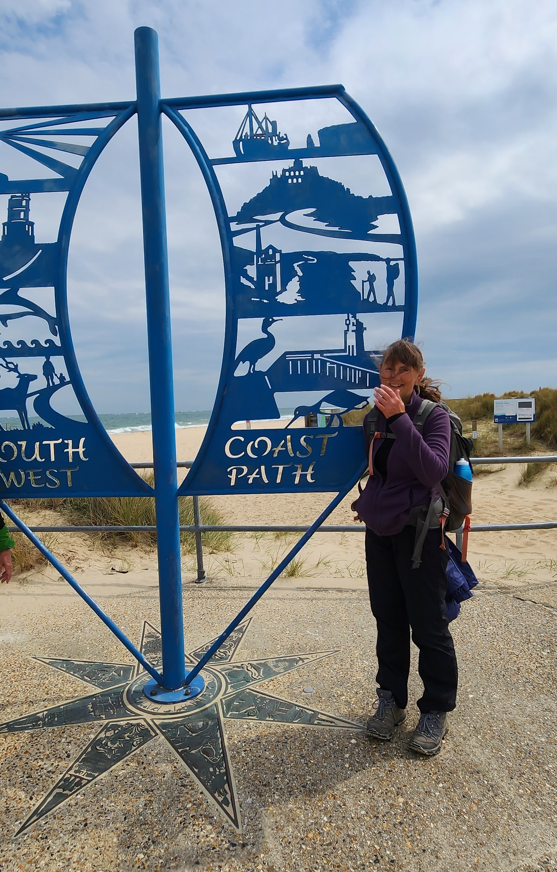
Day 23 Completion day! An easy 12kms.


What next? How about Offa's Dyke up the Welsh border? In a couple of days time.
Hi Jill
ReplyDeleteCongratulations on completing this walk, it looks like great scenery but hard won.
I love your blog, some excellent photos.
Thanks Lisa x
Delete