Sunday, September 29, 2019

Milestones

A number of milestones have been reached over the last few days.

First, we returned the next day after the storm to complete the section with the sand bar. It is called Loe Bar. The Atlantic Ocean on one side and a large freshwater lake on the other.
Then, it was my birthday which involved two cafes and a bit of shopping. I bought a dress. And there was chocolate cake, of course!
Not a milestone - an observation. All along the path we have seen many signs warning of dangerous cliffs and unstable cliffs, numerous small diversions where the track has been re-routed slightly inland due to crumbling cliffs. This was a large diversion around the top of a paddock moving the track over 100m inland.
Sometimes other tracks are permanently closed.
Guess what these workmen are doing hanging over the edge of a cliff?
They are attempting to stabilize it so the green house does not fall into the sea. It must be costing the ownersca fortune. I have a feeling that in the end, the sea will win. It is inexorably eroding this coastline.
Sheryl chatting with some other walkers. We have many conversations along the path with people and with their dogs too.
Impressive cliffs.
Kynance Cove - wild, attractive and popular. There is a carpark up above and a great cafe down at sea level. We had coffee and cake.

The cliff workers, impressive cliffs and Kynance Cove were all on the way to another milestone - Lizard Point - the southern-most point of mainland England. There is a lighthouse with foghorns, a lifeboat station used for rescuing people at sea, and two cafes, and village nearby.
Not too far past Lizard Point we summitted our second Mt Everest of ascent. Possibly near Poltesco and the ruins of a factory that once made all sorts of things from the local serpentine stone and where I patted some ponies.
The next day, Saturday 28th September - we reached the halfway point of the South West Coast Path in a tiny village called Porthallow, just after eating some excellent apple crumble in the Fat Apple Cafe. We deserved the crumble as we had walked 507kms!
We have also left the Atlantic Ocean behind and will now be walking beside the English Channel for the rest of the walk.

The stats as of day 40 of the Path (including 4 rest days)

521.1kms walked
18,784ms of ascent (more than twice Mt Everest)
4941 photos taken (plus 446 photos in Scotland)
England's western-most point - Lands End
England's southern-most point - Lizard Point
1 blister
1 sick day
1 birthday
Numbers of dogs patted, people chatted, wild blackberries eaten, smiles - countless! 

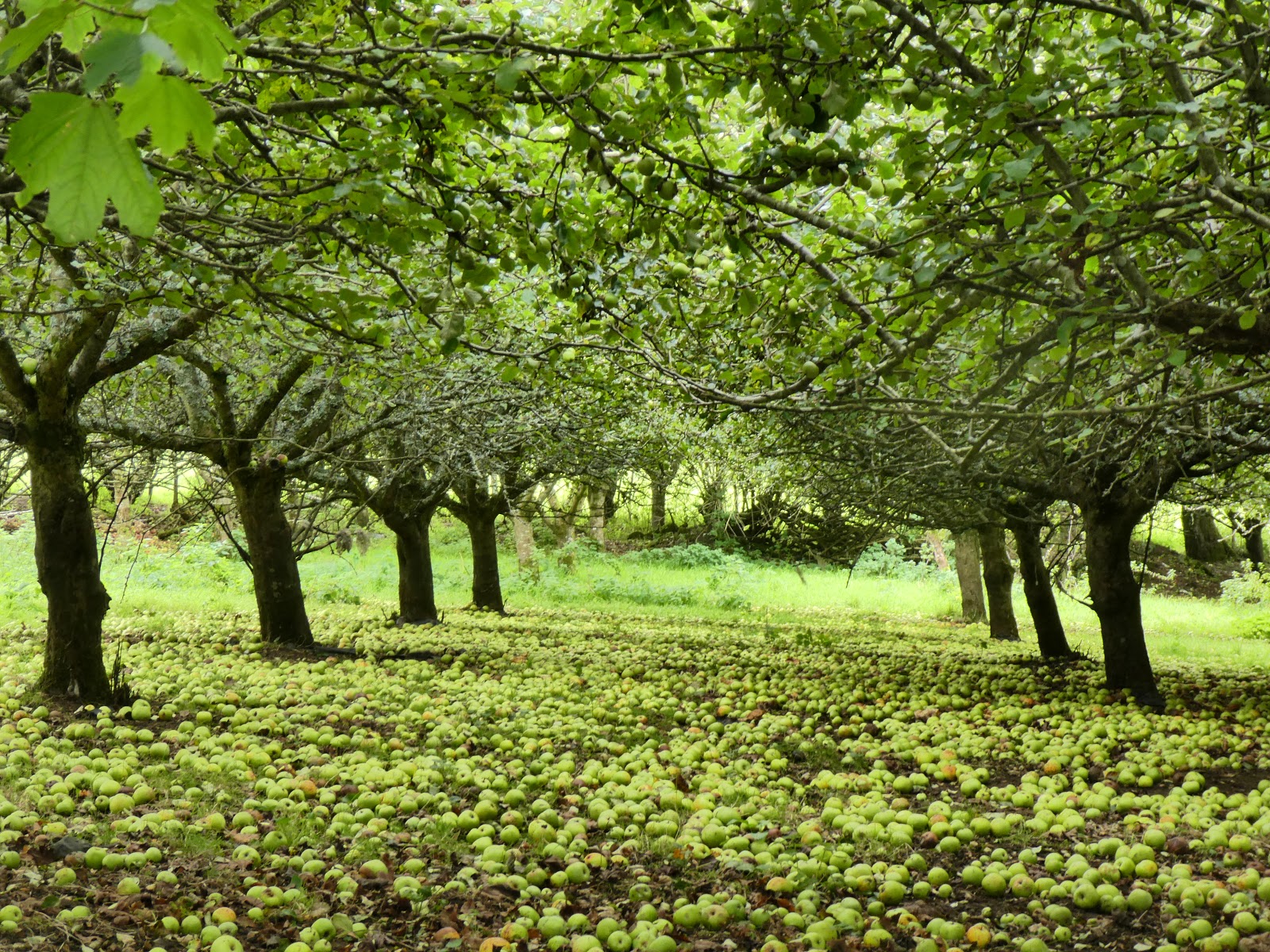
Here is a picture of some apples.


Wednesday, September 25, 2019

Beaten

The next morning Penzance was glowing in sunshine. Didn't see any pirates although there is a pirate-themed attraction on an old sail boat in the harbour.
A few kms between the train line and the beach.
Marazion where we found a very good little cafe for a delicious brunch.
Marazion is also where people come to walk over to St Michaels Mont at low tide. On this morning they were being ferried across the choppy water in small boats. Originally a monastry and then a private castle home with its own village and harbour on the rock, it is now National Trust managed for tourists but the family still live there, a not uncommon arrangement. We visited it on our trip three years ago. The Mont
As we walked, the clouds out to sea threatened.
Pushing coins into bits of wood, usually trees or logs but in this case, old fence posts, seems to be a British tradition to bring luck or grant wishes. I have no idea why some posts or trees are deemed to be special for this purpose.

 An old fishermen's hut ready for renovation at Bessy's Cove where a number of old stone houses had already been renovated.
Around the corner the Path took us along a road and through a strange circular courtyard, no explanation, no signage, but obviously a grand very old house..

Perched on its own point called Kings Cove, it has an atmospheric appearance. Google told us later that it is Porth-en-alls, built in the late 1700s by one of Cornwall's most sucessful smugglers, John Carter. The house and estate's other buildings which we had just walked past, have changed little since then, and can be rented as holiday accommodation.
Then we walked down to the beach of Praa Sands, mostly modern houses apart from a medieval fortified manor house tucked away up the hillside a bit.
The next day started out in rain. And wind.
I was glad this section often had fences between our path and eroding cliff tops as the wind gusts became increasingly stronger.
In Porthleven we found an unfussy cafe that was happy to have us there making puddles on their floor. We ate a slow early lunch watching the rain on the window and people leaning into the wind as they walked outside.
The storm barrier was raised at the harbour entrance as we headed off after lunch.
We staggered around past the clock tower, walked a bit further sheltered a little by houses until we reached the edge of Porthleven and the full force of the 70+kmph wind hit us. Knowing there was a sand bar somewhere ahead that we had to cross we decided to abandon the walking. We turned back and watched the waves breaking over the end of the harbour wall for awhile.
And then caught a bus.

Tuesday, September 24, 2019

Lands End to Penzance

Lands End is a turning point on the South West Coast Path as we begin to head roughly eastward now along England's southern coastline. This is looking back toward the lighthouse out on the rocks offshore from the Lands End point.
This was another day of stunning blues and sunshine.
And watching seals way down in the water below us. (It helps to have a camera with a good zoom lens)

A little cove where a tunnel has been cut to allow easier access to the beach.
The cove of Porthcurno was the end of this day of walking. We have been here before but did not see the beach and cliffs at all due to thick fog. What a difference.
The beginning of the next day. Cloud that became fog. A foghorn sounding rythmically in the distance. Ponies doing their mowing work.
Penberth Cove is one of many managed by the National Trust who look after 39% of Cornwall's coastline. They manage it for historical, cultural and environmental values.
Old methods of fishing with small boats are used here in keeping with history.
Looks like heaven on earth - a pile of books between the bed and the window that looks out to sea.
Sometimes it is hard to tell if standing stones have been positioned by ancient people or modern ones, but I am pretty sure this one is natural. How has it withstood the wind on this exposed cliff top?
The fog thickened. This patch of exotic Monterey pines is a reserve and is used by local sailors as a landmark for navigation.
Woods! The first we have seen for days. It was lovely to enter the nurturing green enclosures.
Mousehole (pronounced Mowzole) A quaint little harbour town looking much the same as three years ago when it was also shrowded in fog and the tide was out. 
We continued along a rather drab trail between a busy road and the grey gravel beach to the larger commercial harbour at Newlyn. This then morphs into Penzance.
Someone has been having fun with scarecrows while cleaning up the rubbish.

Monday, September 23, 2019

St Ives to Lands End

After St Ives, the Path heads south west and becomes quite bouldery in places.

We found a nice flat rock to sit on for lunch while watching, and listening to, seals.
The weather was still being kind, lighting up the blues and acquas in the clear water that made Sheryl comment how it looked tropical and making me take hundreds of photos. 

There were artists painting and people swimming in secluded coves.
This is not a snake. Seriously, it isn't. About 30cm long and called a slow worm, it is actually a legless lizard. I did almost step on an adder just after this photo. That is a snake, a venomous one but again, only 30cm long.
More beautiful blues just because they are beautiful. But look closer...
Zooming in...look to the right of the darker patch
There are rock climbers on this cliff.
More blue.
Ponies are grazed along many sections of the coast to help control the vegetation. They seem remarkably relaxed about the edges of cliffs.
We were so tempted to go for a swim! But someone did tell us that the water is very cold.
Heading towards the lighthouse at Pendeen Watch.
It sure is windy in Poldark country. This hawthorn tree tells the tale of years of wind.
And Sheryl's hair matches the story. It was very very windy the day we walked through an area that once had over a hundred mines with their tall chimney stacks.
Some of the mine scenes of the current Poldark series are filmed around St Just, Botallock, Levant and Geevor mines. Arsenic and copper-stained cliffs.
This day was a day of mining relics, strong wind and no trees.
19th century and 20th century, side by side, silent.
In the valleys running away from the coast as well as on the cliffs.
This early bronze age chambered burial tomb was found under a pile of mine debris. I am standing on top of a structure made by people 4500 years ago!
In St Just we visited the church where another of my ancestors, Amos Mason, was the vicar in the 1600s. 

The mining relics continued all the way to Cape Cornwall. Once thought to be the western-most point of England, Cape Cornwall is a couple of kms north of the actual western-most point at Lands End, and yes, that is another mine chimney on the top.
Then the geology changed again. Strange stacked rocks of coarse-grained granite.

And the lovely sandy crescent beach of Sennen Cove. One of my ancestors was a prominent citizen here back in the 1700s.
Hundreds of ships have wrecked along Cornwall's coast, this one in 2003.
Lands End, where loads of tourists pay to come and stand. There is also a huge not-very-attractive early 20th century hotel-restaurant-entertainment building that we just walked straight past to find a rock on which to sit for our lunch break.
This 38.7km section of the Path took 3 1/2 days to walk and was not done in sequence again because we are finding it harder than expected to find affordable accommodation, or any accommodation at all, at the end and start of each day's walk so we often have to use buses to get to our walks or to our bed for the night, and the bus timetable suddenly changed from summer to autumn times which in this area meant instead of a dozen services a day there were only two! 

But the journey continues...